Athro Limited, Education on the Web

Click and Drag the symbols from the map on the right onto the matching names on the left.

School
Church
Benchmark
Water towers
Draw

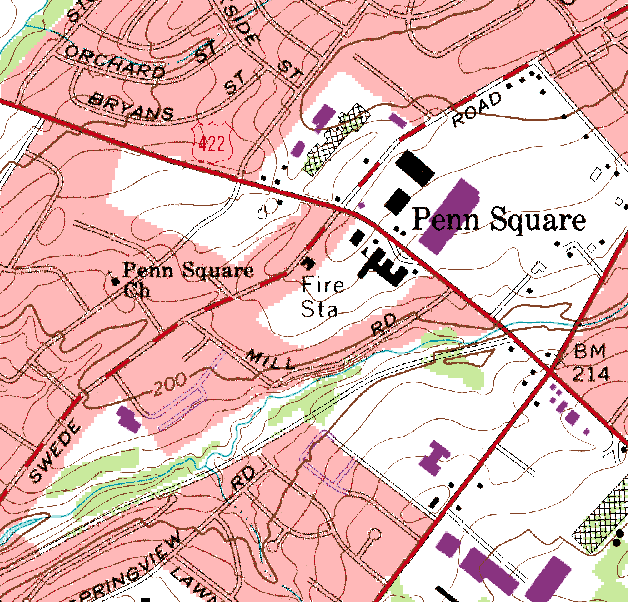
This is a portion of the USGS 7.5 minute topographic map of Lansdale, PA, USA. This portion of the map is approximately 1 mile square and has a contour interval of 10 feet. The map is the 1983 photorevision of the quadrangle with revisions from the 1966 map shown in purple.


This Page Uses the Javascript Drag/Drop library by Walter Zorn.
Base map is USGS Norristown 7.5 minute topographic quadrangle, courtesy of the USGS.
Page Copyright © 2006 Athro, Limited. All Rights Reserved.
Written by Paul J. Morris mole@morris.net
Maintained by Athro Limited
Date Created: 5 July 2006
Last Updated: 2 Sept 2006